
The UK is experiencing a significant drop in temperatures and a shift to wetter conditions after a warm spell. Starting May 6, temperatures in London are expected to peak at 14C, marking the beginning of this chilly transition.
As the week progresses, London weather will see a gradual increase, reaching up to 21C by May 9. However, this warm peak will be short-lived; by May 10, temperatures are set to dip again to 18C, and further down to 15C on May 11 and 12.
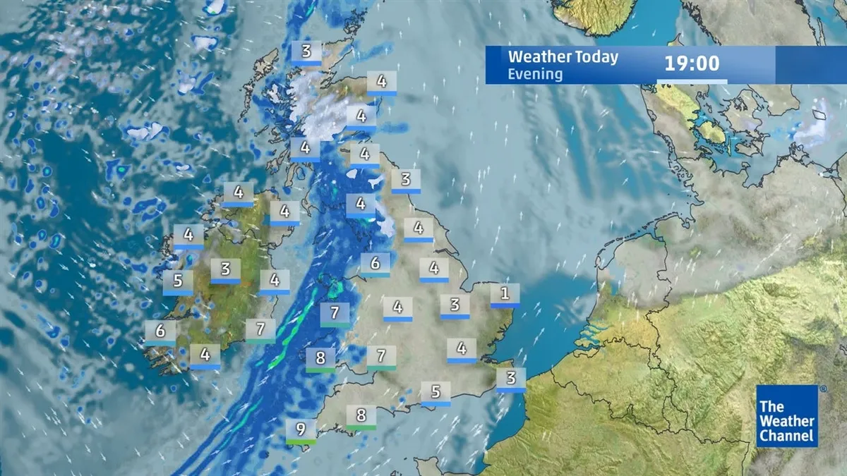
Daytime highs across the UK on May 6 fall below the seasonal average, reflecting a stark contrast from last week’s warmth where some areas recorded temperatures above 25C. This sudden change is attributed to an influx of chilly air sweeping across the country.
Rainfall forecast:
- Rain is expected to begin on May 7, continuing throughout the week.
- Heavier showers and possible thunderstorms are anticipated by the end of the week.
- Showers may even bring snow over the Scottish mountains in higher elevations.
The Met Office has issued warnings about likely rain or showers across portions of England and Wales, which could be heavy and locally thundery. As these conditions develop, many regions will still experience dry spells amidst the rainfall.
In light of these forecasts, residents are advised to prepare for fluctuating weather patterns. The weekend promises light rain with winds accompanying it—an abrupt shift from the mild temperatures of early May.
Officials acknowledge that while some areas will face intense showers, others may remain largely dry. This variability in weather underscores the unpredictable nature of spring weather in the UK.